
|
Arborfield
|
|
Properties
Related sites:
Detailed images: A1
A2 A3
A4
|
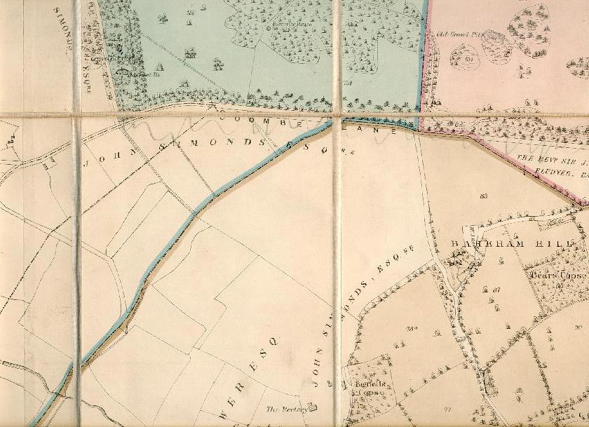
Here is section 'D3' of the Bearwood Estate map covering Hurst Parish.
Back to Properties Page Back to Hurst Map
|
||
|
Any Feedback or comments on this website? Please e-mail the webmaster |