
|
Arborfield
|
|
Churches
Related sites:
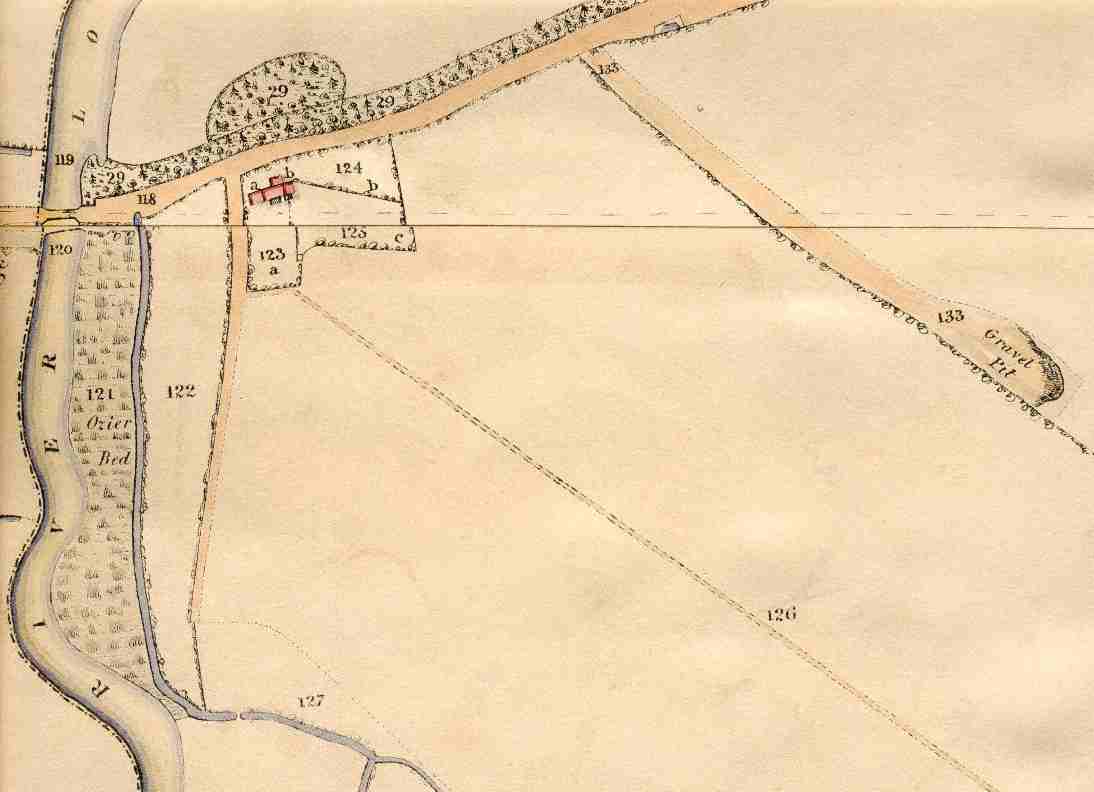
The old cottage at No. 123 still exists, as does the footpath alongside. The Reading Road crosses the River Loddon a little to the south of the old bridge, which looks extremely narrow. This stretch has been known as the 'Causeway' for well over a century; the river has always been liable to flood. Note the gravel pit to the east on No. 133; the local Road Surveyor would have used the gravel to keep the road surface in reasonable repair.
|
This view shows Arborfield Bridge taking the Reading Road across
the River Loddon.
|
||
|
Any Feedback or comments on this website? Please e-mail the webmaster |