
|
Arborfield
|
|
Churches
Related sites:
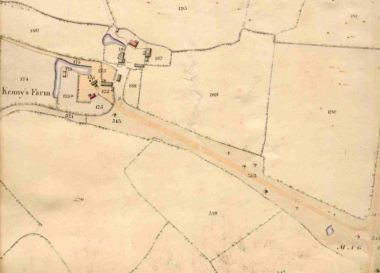
Kenny's Farm with its old moat is No. 176. The outbuildings on No. 187 have been demolished. The track joins Swallowfield Road at what is now called Magg's Green.
|
This view shows Kenny's Farm and its many other buildings,
many of which are now gone.
|
||
|
Any Feedback or comments on this website? Please e-mail the webmaster |