
|
Arborfield
|
|
Properties
Related sites:
|
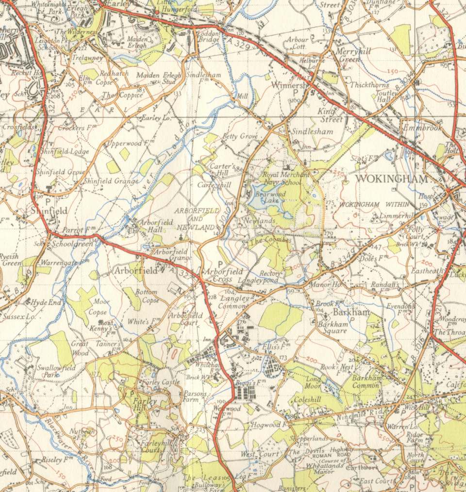
Arborfield and Newland parishes are largely to the south of the River Loddon, with the northern boundary stretching from Betty Grove through what was then the Royal Merchant Navy School at Bearwood and down through the Coombes. The 'Mole' Public House south-east of Carter's Hill was still trading at this time. The roads around Arborfield Garrison have altered beyond recognition; the old Poperinghe Barracks still extended southwest towards Farley Hill. Part of the Barracks site is now Penrose Park, while the old brickworks is Badger's Mount. In the centre of the village, Anderson and Emblen Crescents had still not been built. Arborfield Hall and surrounding Nissen Huts were occupied by homeless families. Towards Wokingham, Molly Millar's Lane was crossed by a private railway serving another brickworks, and there were very few houses to the north and west of the town centre. How much has changed!
|
||
|
Any Feedback or comments on this website? Please e-mail the webmaster |